The Shelburn Freedom Trail
On the night of 16/17 November 1943, Operation Magdelen II took place for MI9, which involved a double pick-up operation by two Lysanders of 161 Special Duties Squadron, piloted by S/Ldr Hugh Verity and F/O Mac McCairns. Delivered to France that night were two French Canadians, Lucien Dumais and Raymond Labrosse. The landing ground chosen was in a field WNW of Soissons, 2km SW of Selens. The Landing Master that night was Count Georges d’Oultremont. Both aircraft returned to RAF Tempsford with passengers - Cdt Edgard Potier, organiser of the Possum Escape Line and five aircrew evaders.
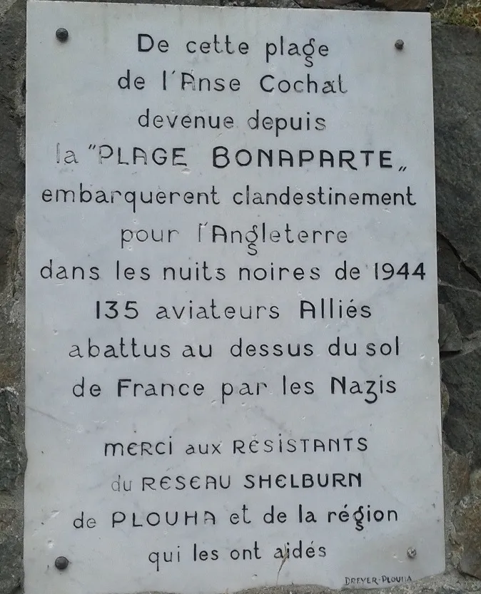
Both Canadians had escaped from France earlier and were now returning to set up The Shelburn Line in Brittany. Raymond Labrosse had been the radio operator for the Oaktree Escape Line in Brittany, which had been compromised in February 1943. The Shelburn Line was only active from December ’43 until August ’44, but in that short time returned over 130 evaders and other fugitives to England.
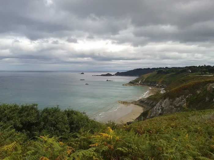
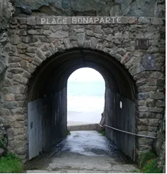
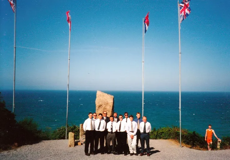
The Shelburn Freedom Trail does not retrace an escape line route, instead it follows the coastal path between a number of SOE / SIS / MI9 beach pick-up points, finishing at the main MI9 collection point at Plage Bonaparte where, above on the cliff top, stands the Shelburn Memorial.
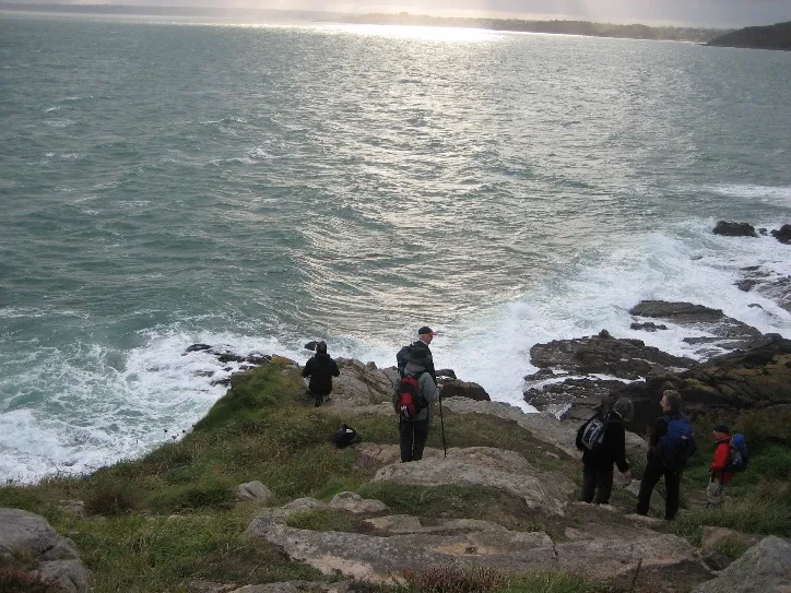
The ‘going’ is fairly good, craggy in places; the ground is undulating and at times crosses some beach areas, dependent upon the tidal situation. The walk does not involve climbing any significant heights. The route follows coastal and cliff paths. Including the GR34 coastal route.
It must be noted that the Brittany coast has the highest tidal rise in Europe, thirty to forty feet in a very short time, so ‘short-cuts’ across bays are not an option.
Because of the distances involved along the coast, this trail is broken into small stages.
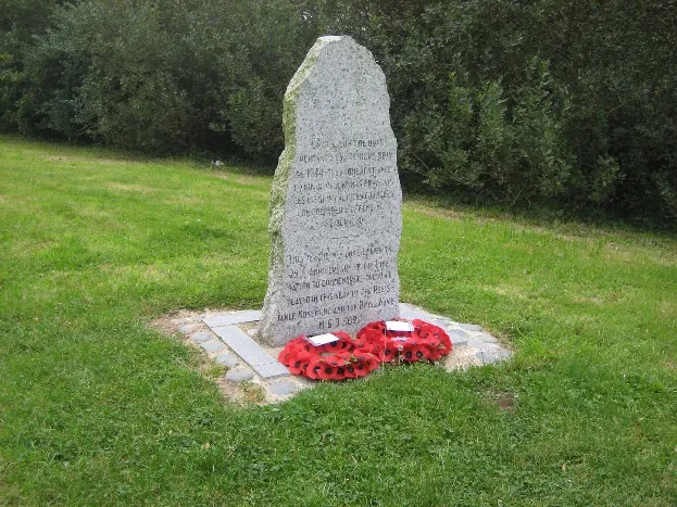
The suggested trail heads eastward from Plougasnou along the GR34 coastal path to the memorial of the SOE Var Line pick-up point at Beg-an-Fry. It continues to Point du Sehar via Les Sables Blanc. All through undulating terrain with beautiful scenery and no significant height gain. [Approx. 20 miles]
The next stage begins at the site of the Glover Operations for the ALIBI Intelligence network [BCRA], heading eastwards from Ile Grande along the GR34 coastal route, around the Cote de Granite Rose to Perros-Guirec. Again, easy walking over undulating ground. [Approx. 10 miles]
At this point walkers could take in a visit to the WW2 safe-house of the Chateau Bourblanc, and also to the grave of the Comtessa Betty de Maudit at Plourivo.
The third stage begins from Buguels, walking via the DAHLIA safe-house, along the GR34 to Porz Bugale and the Pointe de Chateau, with its view of the Ile d’Er, site of the SIS / BCRA Flannelfoot operations. It then continues to La Roche Jaune - easy walking. no significant height gained, undulating ground and spectacular scenery. [Approx 10 miles]
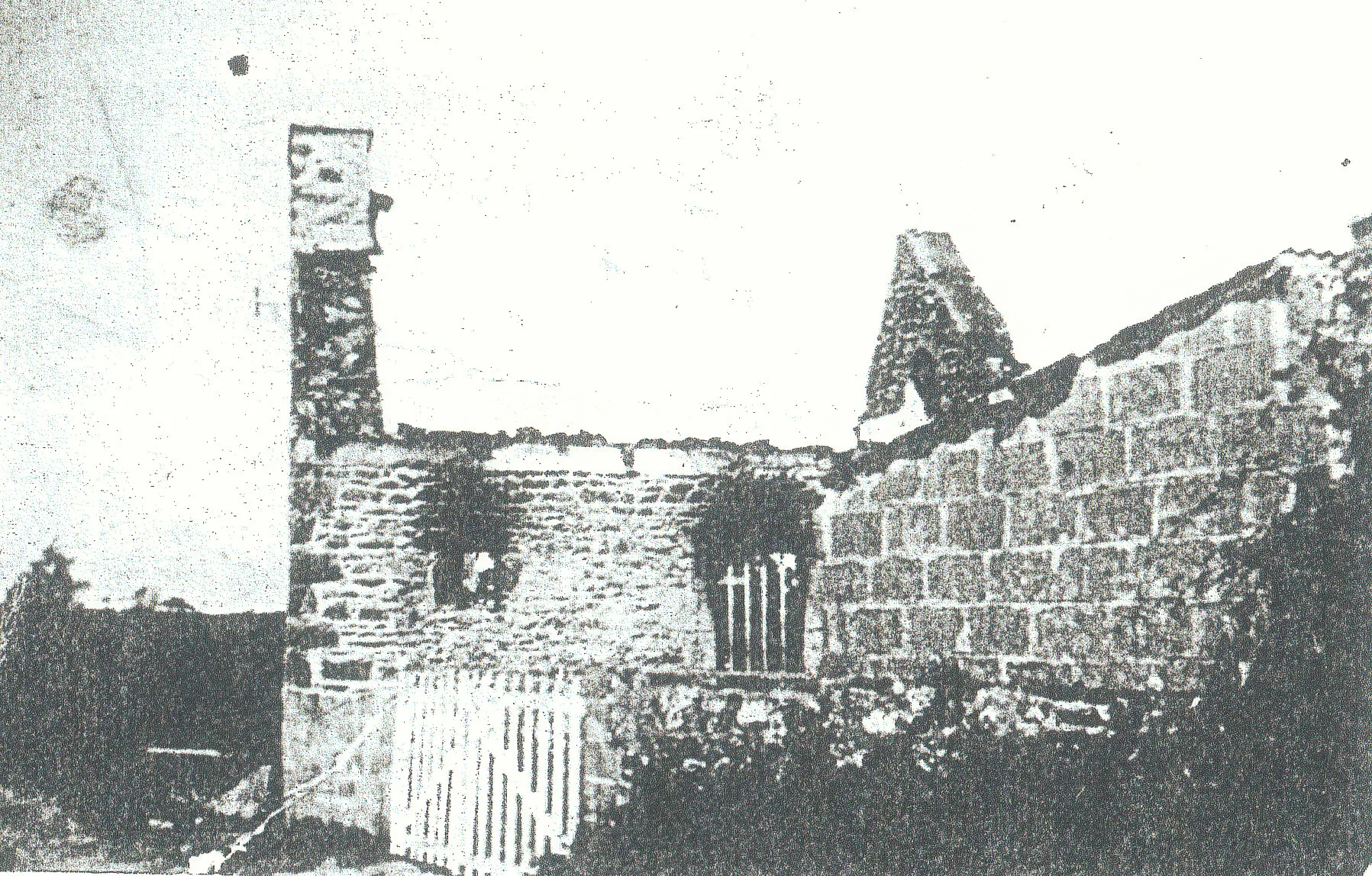
Compromised and destroyed
The final stage runs from Abbaye de Plouezec car park and goes eastwards along the GR34 coastal path to Pointe de Plouezec, where there is a monument to commemorate the SSRF Operation FAHRENHEIT. Then on to the finishing point at Plage Bonapart and the Shelburn Memorial high on the cliff overlooking the beach. [Cliff top route. Approx. 14 miles]
The remains of the last Shelburn safe-house known as ‘La Maison d’Alphonse’ is nearby. It was here that evaders waited for their courier to navigate them on the final route along a mined pathway down to the beach.